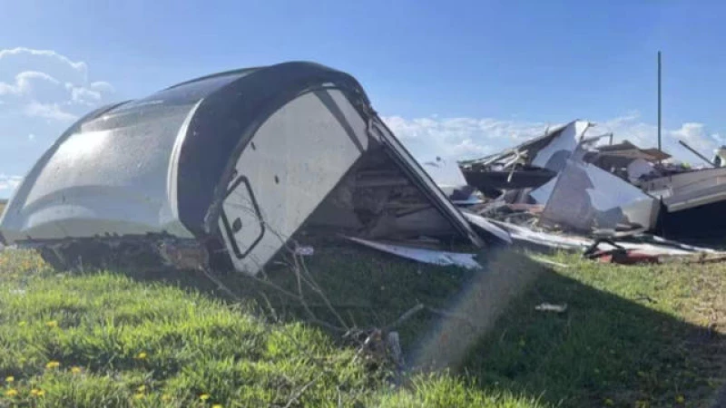
Severe weather wreaked havoc in various parts of the central United States on Tuesday, giving rise to tornadoes in Kansas and Iowa, with one tornado causing injuries to two individuals.
According to the National Weather Service, an EF-1 tornado touched down near Richland, a town in northeastern Kansas, just after 6 a.m. The tornado, with wind speeds reaching up to 100 mph, remained on the ground for approximately 20 minutes.
During the tornado, a recreational vehicle (RV) carrying two people overturned, resulting in injuries. Further details about the extent of the injuries sustained were not immediately provided. Additionally, structures and trees in the nearby town of Overbrook suffered damage due to the storm.
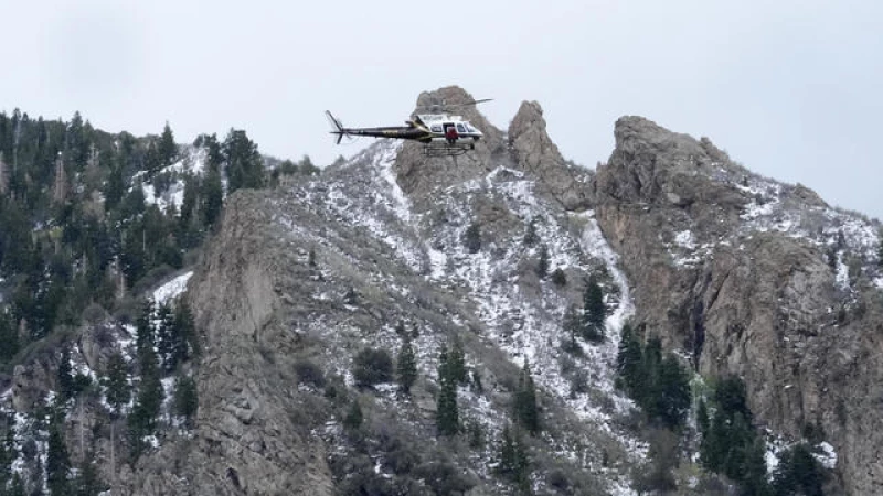
While on duty, Iowa State Trooper Paul Gardner captured footage of a tornado and shared the video on social media. You can view the video here.
The weather service issued a warning for severe weather in the central U.S. through Tuesday. Thunderstorms were forecasted in areas of Kansas, Missouri, Iowa, and northwestern Illinois, with a possibility of large hail and damaging winds. Isolated storms were also expected in the mid-South region.
One incident in Missouri involved American Eagle Flight 3661 bound for Chicago, which returned to Kansas City International Airport shortly after takeoff at 6 a.m. The return was prompted by a potential lightning strike, according to American Airlines spokesperson Gianna Urgo. The aircraft was being inspected for damage by maintenance workers, and affected passengers were accommodated on other flights.
The region is bracing for severe storms in the evening on Tuesday, with the possibility of damaging winds, large hail, and tornadoes. A tornado watch has been issued until 10 p.m. for LaSalle and DeKalb counties to the west of Chicago, as well as counties further west in Illinois and in south-central and southwest Wisconsin. Cities like Rockford, Dixon, Peoria, and Quincy in Illinois, and Janesville and Madison in Wisconsin, are all within the affected area.
The prediction is for "more active storms tonight and tomorrow … just pushing further eastbound and southbound," according to meteorologist Mike Bettes of The Weather Channel speaking to CBS News. "So, expect active storms in Milwaukee, Chicago, and eventually tomorrow in Michigan and Ohio."
Looking ahead to Wednesday, Bettes mentioned, "We've got a severe weather threat looming over Detroit, Fort Wayne, Columbus, and Cleveland."

